NZ2 - Lake Rotoiti Source of the mighty Buller River
10th May 2019
On our way to the West Coast we stopped in a mountainous area called the Nelson Lakes. We had decided to walk along the shore of Lake Rotoiti (which means small lake in Maori). The road took us through wonderful hilly countryside with real mountains beginning to appear. The orchards were either full of fruiting trees, hops or green fields supporting sheep, goats, deer and some cows. (And the odd Alpaca!). We were almost dazzled by the greenery and the autumnal trees in all shades of red and yellow. Jim thought it reminded him of Fall in New England. Praise indeed.
Here rivers were full and strong and the air smelt of mellow fruitfulness. (Or rotting compost). We later learned that this area had also had drought this summer. It was hard to believe!
In the middle of the day we arrived at the St Arnaud visitors centre and arranged to take another water taxi to the end of nearby Lake Rotoiti. Here again were explanations about the damage caused by stoats, rats and deer. Footpaths were covered in traps in an attempt to curtail the smaller creatures and reintroduce more endemic birdlife.
A local person told us that when Captain Cook had landed on New Zealand he could barely hear himself speak for the the sound of birdsong. Today, the birds were few and far between in this woodland, although we saw quite a few on the water.
We were met lakeside by Hamish, one of many New Zealanders with a Scottish ancestry and we were kitted out with life jackets for a 7 kilometre trip to the far end of the lake.
There at Lakehead Hut jetty we were greeted by a couple of impressive black swans and we were watched closely by a couple of red throated Welcome Swallows. We were told that the Swallows should not have been there as they were spring visitors and should have migrated by now, plus the swans were regarded also as pests and could well be culled before the Autumn was out.
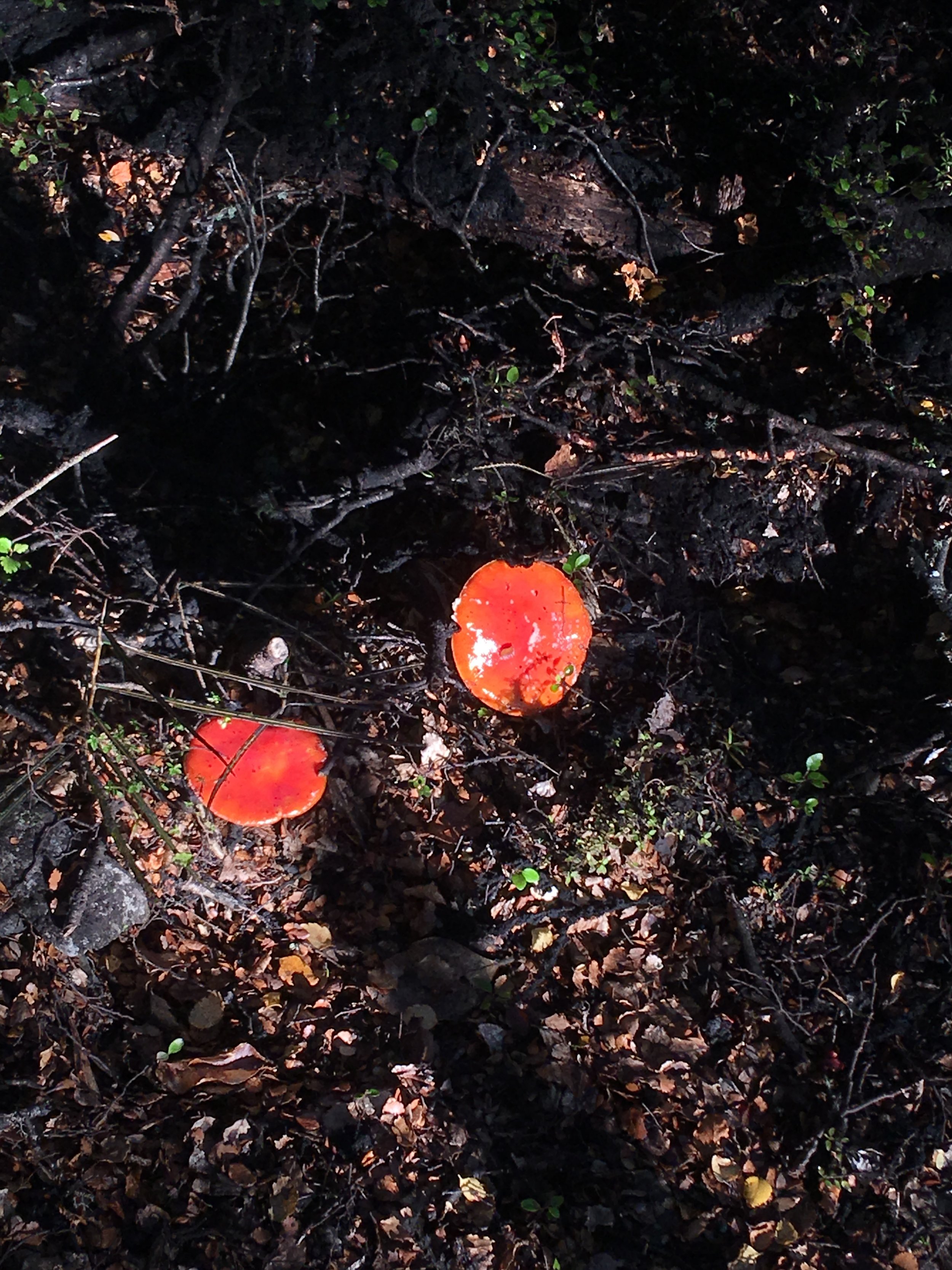
We walked back along the shore of the Lake which was stunningly beautiful and we were struck by the composty smells underfoot and we saw many toadstools along the path.
Whilst it was bright and sunny the ground was saturated by the previous days rain. It was one of those squelchy walks where you had to pick your way around slightly boggy puddles and avoid slipping on black glistening tree roots.
It was largely uneventful until we came upon a fast flowing stream too wide to cross. There was a lot of wobbling involved as we picked our way across on submerged rocks!
We watched the sun setting on the lake as we returned to the Jetty. We were told we should have peered into the water around the jetty as it was full of eels! Not sure if they were Long Fin eels that lived in Lake Matheson, but these massive eels live to be 100 years old and only lay eggs once in their lifetime, just before they die. Their migration patterns through oceans and rivers to lakes are amazing.
Our evening ended up in nearby Wairau Pass Bed and Breakfast, which involved a merry evening chatting to our host Helen, who had been a teacher and a local Councillor and was particularly interested in Environmental Law and Nature. She had plans to move to Wellington for her retirement so she could campaign on the steps of Parliament rather than feeding her chickens, detering stoats and catering for visitors.
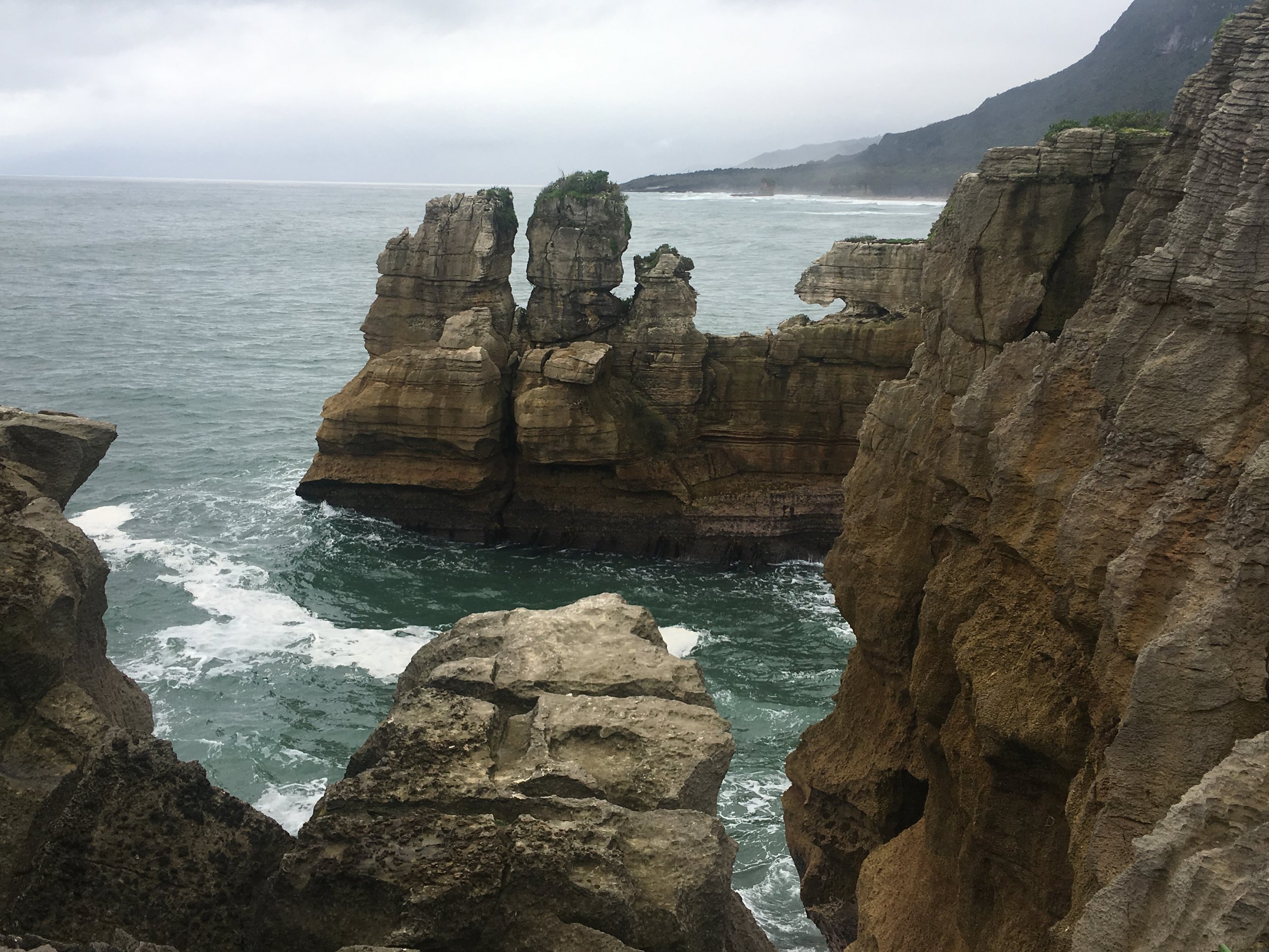
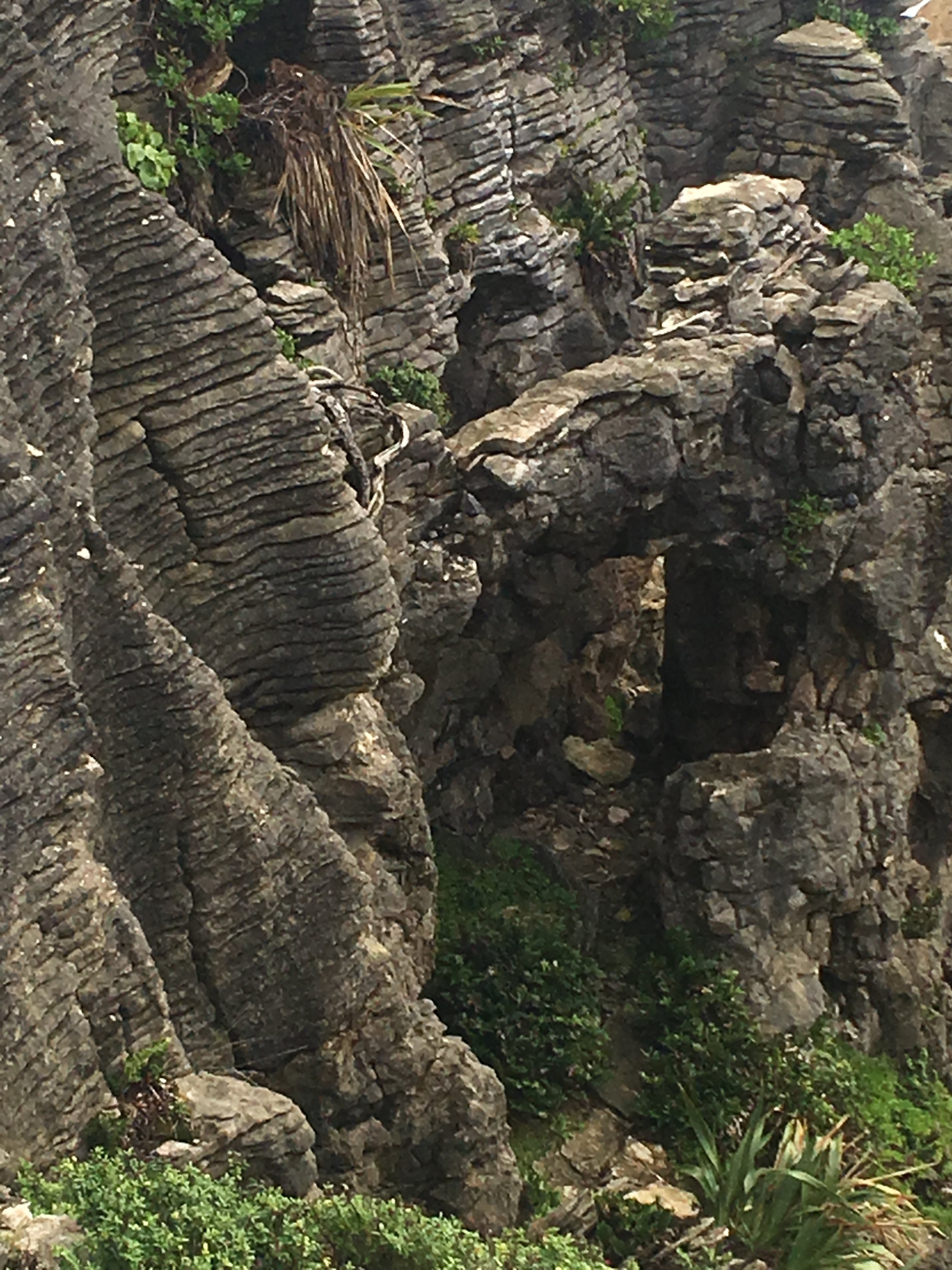
The next day we needed to move quickly along the West Coast stopping only to visit Punakaiki (the famous Pancake Rocks) in Paparoa National Park and then to penetrate the more mountainous zones including Mount Cook, Fox Glacier and Haast Pass. The scenary was breathtaking, glacial valleys, fast flowing rivers (Buller and Hope) and green hilly landscapes with magical contours. The images above and below were of the Pancake rocks which were quite a sight.
The Fox Glacier, named after Sir William Fox in 1872, is over 12 kilometres long and is considered one of the most accessible glaciers in the world. The Maori name for it is Te Moeka O Tuawe.
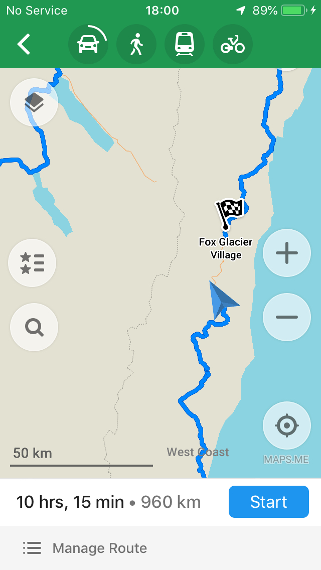
Maps me taking us back via Christchurch on the East Coast
However, Mapsme was refusing to route us to the Fox Glacier village along the most direct route, rather, it decided we should take a 960km detour and approach it from the other side.
This was probably because the access road into the glacier valley was shut due to a landslide, but Mapsme (our GPS mapping tool), had failed to notice that the main road was open. As Jim said, just because your Sat Nav instructs you to jump off the side of a bridge, it does not mean you should!
As we drove through a couple of villages there were weekend protestors with placards drumming up support to ban the poisonning of the stoats. They claimed the poisons killed many creatures who were harmless and fish too. Our landlady (herself a naturalist) had referred to them as the ‘hunting, shooting, fishing brigade’ who wanted to keep the preditory mammals to hunt and cared little for the birds who were facing extinction. The amount of effort being put into facilitating the return of native species was quite remarkable and clearly there were opposing sides.


